$4,356
The amount of Conroe city property tax you save per million dollars of property valuation. Members of WMPID are exempt from annexation by Conroe.
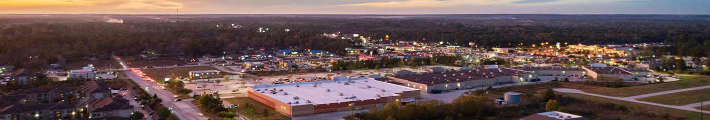
Westwood Magnolia Parkway Improvement District (WMPID)’s Data Center has the data intelligence and demographics existing businesses and site selectors need for decision-making, planning, and expansion in Southeast Texas.
Because WMPID understands our region's global economic prosperity is dependent on individuals succeeding, we offer the gold standard in location analysis web services: Geographic Information Systems (GIS) planning tools. While you can find all of the numbers you need, GIS Planning tools go beyond values on a spreadsheet; the platform also creates interactive maps that allow data visualization and sorting.
WMPID’s Data Center is a truly exceptional, time-saving market and demographic research resource, complete with interactive tools. Explore the data fields below. You can even create custom reports (further instructions can be found here). Please contact us with any questions you may have. WMPID is here to help!
$4,356
The amount of Conroe city property tax you save per million dollars of property valuation. Members of WMPID are exempt from annexation by Conroe.
4
Sheriff’s Deputies and 5 patrol cars. The Improvement District employs additional police in patrolling our district. Our law enforcement efforts help our businesses to succeed.
$0
WMPID charges zero property tax and provides infrastructure for the future of members’ business. Our revenue is a small portion of sales tax charged on local retail sales.
$3,000
The District has grown to nearly 3000 acres of mostly commercial land that encompasses the region between Conroe, Magnolia and The Woodlands, serving infrastructure needs in the area, in partnership with Precinct 2.